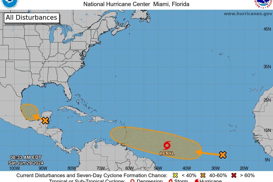
The tropics remain quiet on Saturday, October as the National Hurricane Center monitors four tropical waves, including two in the Caribbean Sea, according to the agency’s latest advisory.
The NHC’s tropical outlook map for Saturday shows no disturbances in the Atlantic basin and none are expected over the next seven days. But conditions can change rapidly and residents – especially those in hard-hit Florida – should always monitor the tropics.
There is a high chance of a tropical depression or storm forming in late October and early November, as forecasters focus on the western and central Caribbean, according to AccuWeather.
The next named storm of the 2024 Atlantic hurricane season will be called Patty.
“As we move later into the tropical season, we typically look closer to home for tropical development. The areas of concern are typically focused in the Caribbean, Gulf of Mexico, and off the Southeast coast of the United States,” AccuWeather Lead Hurricane Expert Alex DaSilva said.
The Atlantic hurricane season ends Nov. 30, although storms can – and have – formed after that date, and even before the official start of hurricane season on June 1.
Here’s the latest advisory from the NHC as of 8 a.m., Saturday, Oct. 26:
Tropical Storm Patty? Will Florida see another storm or hurricane?
AccuWeather forecasters are focusing on the western and central Caribbean Sea, which are expected to spawn the next tropical threat. There is a high chance of a tropical depression or storm forming in these waters during late October and early November.
“I know there will be showers and thunderstorms in this zone next week. The question is the wind shear. If there is low wind shear, which we expect, we will get a tropical depression or storm to form,” AccuWeather Chief On-Air Meteorologist Bernie Rayno said.
“From a climatological standpoint, tropical storms that form in this area late in October and early in November tend to track into Central America or possibly to the north-northeast toward Cuba, Hispaniola, and the Bahamas. However, a track into Florida or the southeastern U.S. mainland is not out of the question at this early juncture,” AccuWeather Senior Meteorologist Alex Sosnowski said.
Residents in the southeastern U.S. and those in the Caribbean and Mexico are encouraged to monitor the tropics and remain prepared.
What else is out there and how likely are they to strengthen?
As of 8 a.m., the National Hurricane Center was tracking no tropical disturbances in the Atlantic basin, which consists of the northern Atlantic, Caribbean Sea and Gulf of Mexico.
While there is nothing on the tropical outlook map, NHC forecasters did say there are four tropical waves out there, including two in the Caribbean:
Eastern Atlantic: A tropical wave is along 25N, south of 14N, moving westward at 11-17 mph. Scattered moderate convection is noted within 120 nautical miles on either side of the trough axis.
Central Atlantic: A tropical is along 55W, south of 15N, moving westward at 11 mph. Scattered thunderstorms are noted from 06N to 08N between 53W and 56W.
Eastern Caribbean Sea: A tropical wave is along 68W, south of 16N, moving westward at 11-17 mph. No significant convection is noted with this wave.
Southwestern Caribbean Sea: A new tropical wave is along 83W, south of 17N, moving westward at 11-17 mph. Scattered moderate to isolated strong convection is noted from 11N to 16N between 82W and 84W.
With information from NOAA
TYT Newsroom
The post US National Hurricane Center monitors four tropical waves in the Atlantic first appeared on The Yucatan Times.


