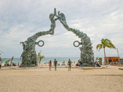
Quintana Roo State authorities forecast heavy rains due to tropical wave number 26.
The governor of Quintana Roo, Mara Lezama, reported that authorities are monitoring a new low-pressure zone located in the Central Atlantic.
This phenomenon currently has a 10% chance of developing into a cyclone in the next 48 hours, but its chance of becoming a cyclone increases to 50% in the next seven days. The low pressure is located approximately 5,105 km east of the coast of Quintana Roo and is moving in a west-northwest direction.
In light of the potential threat, Lezama called on the population to take precautions due to forecasts of heavy rains. The interaction of tropical wave number 26 with the humidity coming from the Gulf of Mexico could generate storms with electrical discharges, strong gusts of wind, and even hail. These weather conditions increase the risk of landslides, flooding in low-lying areas, and the rise of river and stream levels.
National Hurricane Center Forecasts
The National Hurricane Center (NHC) has also indicated that this system has the potential to evolve into a tropical depression as it approaches the Leeward Islands later this week.
Meteorological authorities are keeping an eye on the behavior of the hydrometeorological phenomenon and its possible impact on the region.
Rains expected due to tropical wave number 26
In addition to monitoring the low pressure, Quintana Roo authorities have also issued alerts for the passage of tropical wave number 26, which will affect the Yucatan Peninsula. This phenomenon will cause heavy rains in the south of the state, as well as in Yucatan and Campeche. The precipitations will be accompanied by east-northeast winds, with gusts of up to 40 km/h in coastal areas and areas with storms.
TYT Newsroom
The post Quintana Roo monitors new low pressure zone in the Central Atlantic first appeared on The Yucatan Times.


